


 At Westfield NY we headed due east, mostly following "NY Bike 17," a marked bike route that uses mostly quiet state highways that parallel busy NY 17, a limited access road now being renamed Interstate 86. But for the 800' climb from Lake Erie up to Lake Chautauqua, we took back roads hoping to take a rail trail. We found it but it was unimproved, barely rideable with a wide-tired mountain bike, certainly not with our tandem. Plan B was to continue on a back road. The bad news was this hill, which got us into "28th gear" (walking, since the bike has only 27 formal gears) that topped out at a 15% gradient just ahead of Jeff. The good news is that our back road took us through a very quiet corner of Chautauqua County where we encountered several Amish buggies trotting by.
Back on Bike 17, we had a wide shoulder and modest traffic along the shores of Lake Chautauqua, then wide shoulders and exceedingly quiet roads the remaining 100 miles in NY before we turned off to Pennsylvania. Just before hanging that right turn, we saw smoke coming across the road, followed by the most wonderful aroma of a town picnic that perfectly coincided with lunch time. What a happy find!

The Alleghenies look and feel like mountains, but the topography is actually that of a deeply eroded Plateau. The top of the plateau is now generally 2000-2500' above sea level in this part of Pennsylvania, intersected by valleys that can be anywhere from a few hundred feet to as much as 1500 feet below the ridge tops. There is precious little flat land anywhere but in the wider valleys, such as this stretch of riding on the flood plain of the Allegheny River we followed into Pennsylvania. At Coudersport PA, however, we ran out of valley flood plain and had an 800' climb up to the ridge top, half of the climb in a mile-long stretch of 8% gradient that we once again walked.

 Seven miles out of town, just before that big climb, we found a little piece of heaven, the Frosty Hollow Bed and Breakfast. Yes, that cottage was our little nest for the night, and a kitchen in the nearby farm house was the scene of a simple but satisfying spagetti and meatball dinner we prepared with ingredients picked up at the supermarket in town. Next morning the owners got us prepped for that big climb with baked eggs and other breakfast treats.
 After climbing the ridge to 2500' we followed the ridge line for ten miles. Unfortunately, erosion has eaten away at the Allegheny Plateau at different rates along the ridge line, so we were climbing or descending every foot of those ten miles. Halfway along we pulled off into Cherry Springs State Park. Many parks focus on endangered plants, endangered animals, endangered pieces of rivers or meadows or forests. This one focuses on endangered darkness. Because there are no cities of any size in this part of the state, and with even the small towns buried deep in those valleys, this site is one of the best places for astronomy on the east coast, as you can see from this "darkness map." Cherry Springs is of course right in that black spot of minimum light pollution.
They have several "astronomy domes" at the park which stargazers may rent for the night to minimize wind disturbing their telescopes, plus a second astronomy field where white light of any kind, including flashlights, is strictly forbidden after dark. Around summer new moons, we hear, the place is really hopping with stargazers.
 At last it was time to descend from the ridge, but not before catching a glimpse of the view into the valley 900' below. Thank goodness we have a drum brake on the rear wheel, a drag brake that applies constant braking when we do major descents and dissipates the heat safely. Even with it, our three-mile plunge downhill at a 6% gradient went around so many sharp turns that we worried about heating the rims with our regular brakes to the point where the tubes could melt and therefore go kaplooie.

But the tires stayed inflated, neither the tire nor we went kaplooie, and at the bottom of the descent we had -- by prearrangement, of course -- our tandem friends Gary and Carol waiting to escort us the remaining way to their home in the woods. We met them in Florida two years ago, and when they bought a summer home up here they invited us to visit them.
 We stayed three nights, giving us two "rest days." Well, our regular readers know us . . . here we are "resting" on day one with a six mile hike. It started with a challenge, getting across Hammersley Fork. Gary showed us how to do it on the wire, actually two wires one above the other that stretch ten feet above the stream.
 The rest of us chose the take-off-your-shoes-and-wade method. We passed a number of "camps," i.e. places used a few days of the year mostly during hunting season, then struck up a side stream to get a real feel for the Alleghenies by climbing yet another of those ridges. A salamander entertained us along the way.
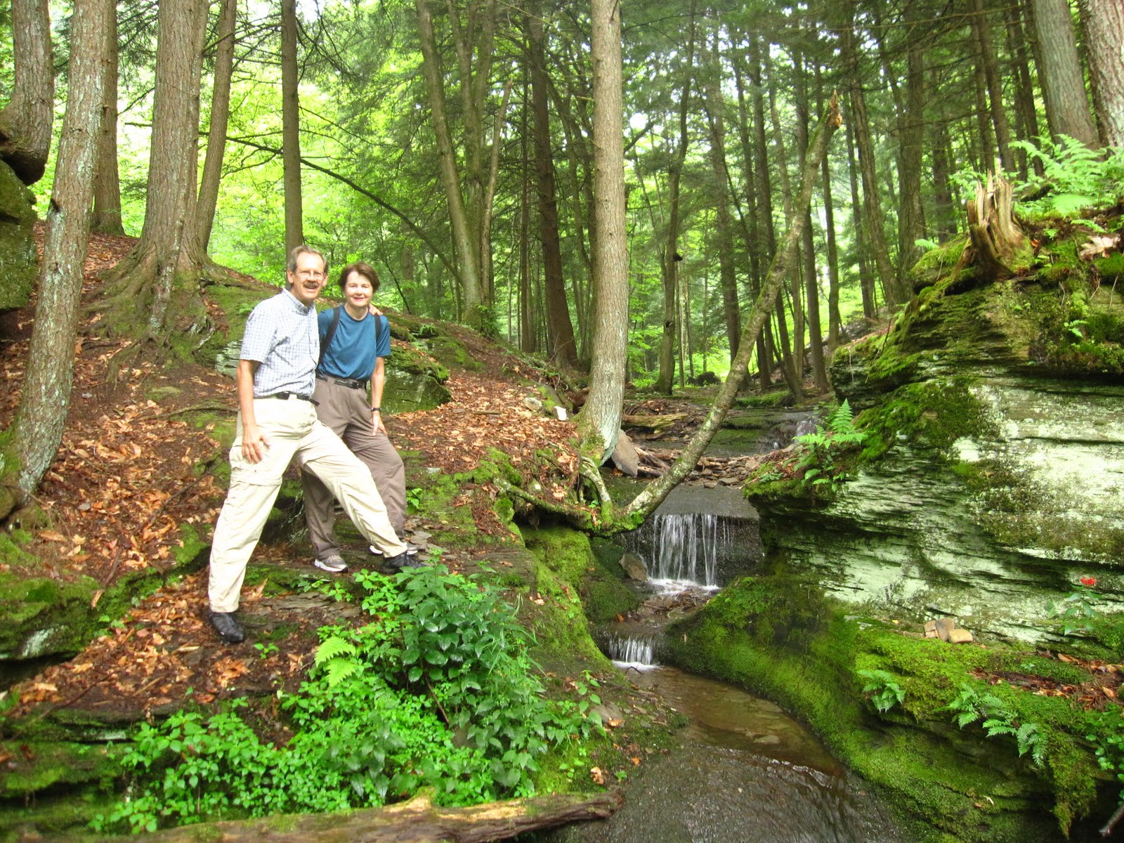

 For our next "rest day" we did a twenty-mile bike ride, but it really was a different experience since it was without all our luggage. They described it as "relatively flat" since it followed a small river, but we're talking "Pennsylvania flat," not Real Flat. Think we got in the granny gear five times at places where the road took little short cuts across bends in the river, sharply climbing and descending in the process. This time we had rattlesnake road kill for entertainment. After lunch Gary and Carol took us by car to a spot we most certainly would not have biked to, Hyner View State Park. We were at 1940' above sea level, more importantly at 1300' above the West Branch of the Susquehanna River, seen below in these three photos. The little pretend road and toy bridge below us proved real enough the next day when we rode down them.


Then on the drive back we had this little black bear walk across the road to amuse us. Hey, we think we're ready for civilization again! We'd rather not meet this little guy while on our bike, cute as he is and all.

Gary and Carol's place was very comfortable and the road down the valley quite pleasant to ride, but there's a killer hill to deal with when it's time to push on. After considerable thought, we came up with the idea of driving our two tandems to the top of that hill. It took some creative van-packing, but we pulled it off. Next morning, we launched from the top of that hill and started the day with an 8-mile gentle descent that dropped us 1000' in elevation to the W. Br. Susquehanna.

Gary and Carol then took a longer way back that avoided the big hill, although Gary had to switch bikes to his mountain bike after they got home and get back up those 1000' to retrieve the van. How's that for a send-off!!! As we headed along the West Branch of the Susquehanna today, we had pleasant memories of our time in the Alleghenies and at their home.

Tomorrow we begin a two-day cut through the Alleghenies on the Pine River Rail Trail, which will take us through an area called "The Grand Canyon of Pennsylvania." Since we'll be at the bottom of the canyon, it won't be as grand as from the top, but it should be relatively easy going along the rail trail. We'll tell you more about it in our next blog.

1 comment:
Nice to see you back on the blog routine. Nice pictures and descriptions of a part of the country that we know nothing about.
Post a Comment