


 We've now left Hamelin on the Weser River and are headed to the river's origin at the confluence of the Werra and Fulda Rivers. As we have from the start, we are riding on some beautiful bike paths. How exactly do we find them? In Germany, the answer for us has been Bikeline bicycle guide books. They have several dozen books covering pretty much every river in and near Germany. The maps are in a good scale, in this case 1:50,000, and easy to read. On the sample page, for example, purple means bike path, red a road the cycle route follows, and yellow/gold an alternate option. Dashed lines mean unpaved (none in this section) but even the unpaved sections are smooth and easy to navigate. In the accompanying text Jeff can read (in German) about the various sights we pass, e.g. in what year a certain castle was founded, then sacked, then rebuilt. If there's a ferry, it tells us when and how often it runs (most run continuously back and forth). It gives us, in short, not only a route to take but good advice on what to see along that route.
And there was much to see. An hour from Hamelin we turned a few km up a gentle grade to Schloss Haemelschenburg, a palace in Weser Renaissance style that was built in the late 1500s. We took the tour but no photos were allowed inside. It's a spacious place and the tour only took us through a small part of it. The noble family still lives in one wing and even rents out most of another wing as a series of apartments. It's been well kept up and as you can see is getting a facelift on one side. The estate has been in the hands of the same family since 1427, and they keep it going with these tours and rentals, with weddings in the palace and wedding receptions in the great hall they created in a former barn, and with sustainable farming and forestry. Welcome to aristocracy in the 21st century. As for the third photo -- if there's ever a competition for world's longest gargoyle, these folks are very much in the running.


A few km further up the Weser and, surprise, surprise, yet another Schloss. This one is called Schloss Hehlen and it is in private ownership, no tours to the public. It does appear, however, that they too may be earning some loose change with wedding receptions in the garden by the Weser, across which we viewed it.

 We spent the night in Bodenwerder, home of Baron von Munchausen, until recently the most renowned liar in the world. A fountain in the center of town illustrated some of his more infamous stories, such as the time he tied his horse to a post in a snowstorm. When the snow melted in the morning he discovered it was a church steeple he had used, and he had to cut the harness by shooting it with his gun to allow the horse to drop to the ground. And then there was the time he got a ride on a cannonball. . . . You believe it all, right? Would Baron Munchausen lie to you?
Our route continued along or sometimes near but out of sight of the river, but always with good views.


 Every few km, one also encounters larger signposts like the ones in the second photo, though usually not quite as busy as this set. On the top two signs, it tells you first how far it is to a more distant but larger city, and then on the second line how far it is to the closest town on the route in that direction. Underneath are various logos for trails you might be following. The one with lots of yellow/gold above and wavy lines of blue and green below is the Weserradweg, the one we are using. So as we go along we mainly look for either the more distant town that keeps showing up on every sign 'til we reach it (here Minden or Stolzenau), or for the yellow-blue-green logo of the Weser route. There are two such logo signs pointing to the right because there is the official route to Stolzenau and an official alternate route via Haevern and a ferry across the Weser. The very bottom arrow in fact tells you that it runs every day in July & August, but only weekends and holidays in Spring and Fall, and not at all in Winter. This is something one likes to know before biking the 4.5 km to what might be a very inactive ferry.
 One of those ferries, a very active one indeed, took us across the Weser to our first highlight of the next day, Burgruine Polle, i.e. the ruins of the former Polle Castle. A sketch gave an idea of what the castle may have looked like for the 350+ years until it was destroyed in the 30 Years War in the 1600s. Not much left of it now. From a spot up high we could look back down the Weser to where we had just come, and ahead to where we would continue, for the route stayed on the other side of the river in this area. It appeared in fact that a good bit of the ferryman's income is from cyclists crossing both ways to see the ruins and/or to visit the cafes in Polle.


We have a picnic lunch almost every day on these trips. Now that the weather is warmer, we sometimes supplement the sandwich we have every day with a small salad and/or a bottle of mineral water from a supermarket. By chance, our lunch spot this day was under a tree next to a supermarket and a few meters from one of the most beautiful of the Weser Renaissance palaces, Schloss Bevern. It was built in the early 1600s but the noble line eventually died out, i.e. ran out of legitimate children to inherit the place, and it is now in public ownership. It is in the form of a square building surrounding a square courtyard or Hof. All of the Hof and three sides on the outside are in customary wood, brick and earth tones, but the front entrance is an unusual and exquisite blue and white. The local tourist info bureau is in the Schloss, along with some public agencies and a small public gallery. The current exhibit was based on a recently published book with "then and now" photos. Don't know the places, but the comparisons were nonetheless interesting.


 Besides our most helpful Bikeline guidebook to tell us what's worth seeing, we also received a long email from our German friend Rainer last Spring, listing places we should not miss along the Weser. Both agreed that Corvey Cloister was one of these spots. However, we reached it fairly late in the day, when our enthusiasm was at an ebb. The admission price of 8 or 9 euros each did nothing to encourage us, so our visit was limited to this photo of an imposing stone guard and an exterior shot of a small portion of this large complex. Much of it is "only" 200 years old, but the church as we understand it has been there for 1200 years! For almost 1000 years it was a Benedictine monastery, and in its early years it was a key center of Christianity in northern Europe. Napoleon secularized it in 1803 when his army marched through, and today it is still in the hands of the noble family it was awarded to 200 years ago. But then, that's just a drop in time with a history like this, yes?
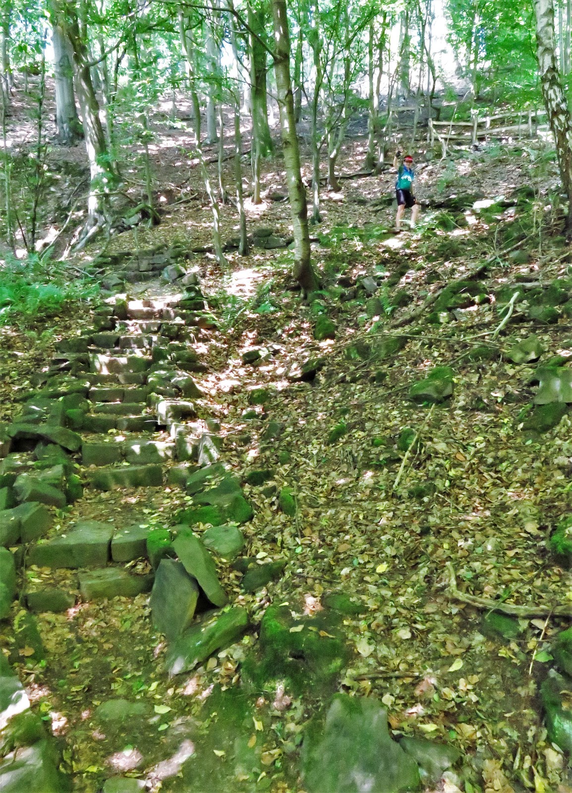
Our last full day on the Weser had only one highpoint, but it was a point quite high. About 80 m / 250 feet above the river, to be precise. It's that little black ledge on the top left of the first photo. To reach it, however, we had to lock up the bike at the bottom, climb to the top of the ridge, then descend to the viewing platform. But it was worth every step.


From up here things do indeed look different!


We complemented our own high-flying with a lunchtime viewing of another high flier, a falcon who was resting in a nook across the street from our picnic spot in the nearby town of Bad Karlshafen. Don't know if he "belongs" to someone in the house or is just taking advantage of this nice cubbyhole at the peak of the house.

We do see tandems in Europe, though not as many as in Seattle, and we do make an attempt to stop and meet fellow tandemers. On our last day on the Weser we saw this family pulled over for a rest stop and chatted. They are from Hannover, which is a few hundred kilometers from here. Because the kids are 5 and 8, they have it set up for safety: Dad and the son on the tandem and the younger daughter on her own bike, but latched onto the tandem. Mom rides her own bike. The daughter could ride on her own, but for safety they said they don't generally do that. It was nice to see an entire family on a bike vacation. As you can tell from all the gear they have, it's not only a bike adventure but also a camping trip.


And then, we reached the beginning of the Weser. Here are three last views before we reached that point, and as the route got a little hilly, but actually only a very little.


The so-called Weserstein or Weser Rock marks the junction of the Werra and Fulda Rivers to create the Weser. The little rhyme on the rock says that the two rivers 'kiss here, and in kissing lose their separate identities to flow, German, to the sea.' We were puzzled by the word "German" until our friends Rainer and Briggitte explained that the Weser is known as the "most German of rivers" since it is the only major river that flows entirely within Germany. The Danube starts in Germany but heads off to a potpourri of countries; the Rhine starts in Switzerland and passes by Liechtenstein and France before disappearing into the Netherlands; the Elbe starts in the Czech Republic and the Oder in Poland. The Ems almost makes it but "kisses" the Netherlands shortly before entering the North Sea. Well, we have ridden "German" over 500 km from the North Sea to here. Now what?

There's a large city, Kassel, about 30 km up the Fulda, and a small ancient city another 60 km further up the Fulda and one of its tributaries, so off we went upstream, though frankly not particularly uphill. These are still fairly large rivers with only modest climbs in elevation in this direction.
We passed quickly through Kassel, saving it for exploration a few days from now, when we come back this way. We found a hotel just outside Kassel that gave us a great view of the Fulda out our window, with nothing between us and the river other than the Fuldaradweg, of course meaning the Fulda Bicycle Route. The river was wide here due to a dam downstream, but the next day we took a bridge over a free-flowing section and you can see that it is still far from tiny. Indeed, the Radweg goes 200 km from the source of the Fulda to its merger into the Weser.


Fritzlar was well worth the side trip out and back to see it. In six years it will be celebrating its 1300th birthday. It sits on a high hill above the Eder River and retains much of its medieval character with narrow twisting streets and a closely-packed Altstadt, or old city center.


The tallest surviving defensive tower in a German city, the Grauer Turm (Grey Tower) is 38 m tall, the height of a 13-story building. Many of the other defensive towers also survive, as you can see.


Fritzlar is also jam-packed with Fachwerk houses and businesses, and with interesting carvings and decorations.


 The Spitzhaus (Pointy House) was a particular favorite. Most of the houses in town were well kept up, but it's a hard business keeping a 300-500 year-old building in usable condition. For one house we passed by, the owner seems to have given up entirely.
 Fritzlar was actually more than just a pretty face, to borrow a phrase. It has an interesting history, starting with Saint Boniface's arrival in 724. He proceeded to cut down an oak tree that was sacred to the locals, then used the wood as part of the structure of a new church he built on the site. The story as told nowadays is that this was the beginning of the conversion of this part of Germany to Christianity, though one wonders if that's really what the townsfolk thought back then about this axe-wielding fellow wearing funny clothes who desecrated a religious site of theirs. The statue in front of the church and the window inside nonetheless celebrate the event.
 The monastery Boniface founded found favor with Charlemagne in the late 700s and it was placed under imperial protection. Later kings and emperors visited the city frequently. In the 11th and 12th centuries the City Hall was built -- now the oldest one in Germany still being used as a city hall -- and the stone cathedral was begun, finished, then remodeled. You saw the church from the Grey Tower in photos above, and to the right is a glimpse of the cloister that is still attached to the cathedral, followed by a photo of the massive city hall.

 A piece of modern art helped us see ourselves in perspective here. Nearby we found an even better table with one of the best meals we've had yet. Jeff had the trout stuffed with spinach and cheese and resting on a bed of pureed potatoes, and Louise a terrific Shrimp and Glass Noodle Salad. Yum!

However, the best comment about food that night belonged to the sign we passed on the way to the restaurant, saying "Chocolate doesn't make you fat, it makes you beautiful."

We've now reached the southernmost point of this summer's trip, though "southernmost" is a relative term -- we're at the same latitude as Banff, Alberta. We'll head on north back to Kassel and a meet-up with friends Rainer and Brigitte in our next episode.

No comments:
Post a Comment