


We were now at the start of the Romantic Rhine, the part most people think of when they extol the beauties of the river. And spectacular it is. It has attracted the attention of painters for a few centuries, such as these two paintings from the 1820s and 1830s we saw a few days earlier in the art museum in Schweinfurt.


Our hotel keeper convinced us to take the Ring Tour, and what a fantastic experience it was! We started with a boat trip downstream past the castle ruins of Ehrenfels on the right and the Mouse Tower on the left. The latter was covered in scaffolding, unfortunately, but it's little changed since the painting above. The name probably derives from an archaic German word for tolls, Maut, which were energetically and even forcefully collected here, but a silly legend grew up claiming that the Bishop of Mainz was nibbled to death by mice in its bowels, hence the name.


After hopping off the boat in Assmanshausen, we then took a chair lift a few hundred meters up, where hiking trails took us to lookout points. Downstream and far below us were Burg Rheinstein and Burg Reichenstein, both restored in the 19th century. Today you can have a beer in the tavern at the former, or dinner and a room in the hotel at the latter. Maybe next trip.


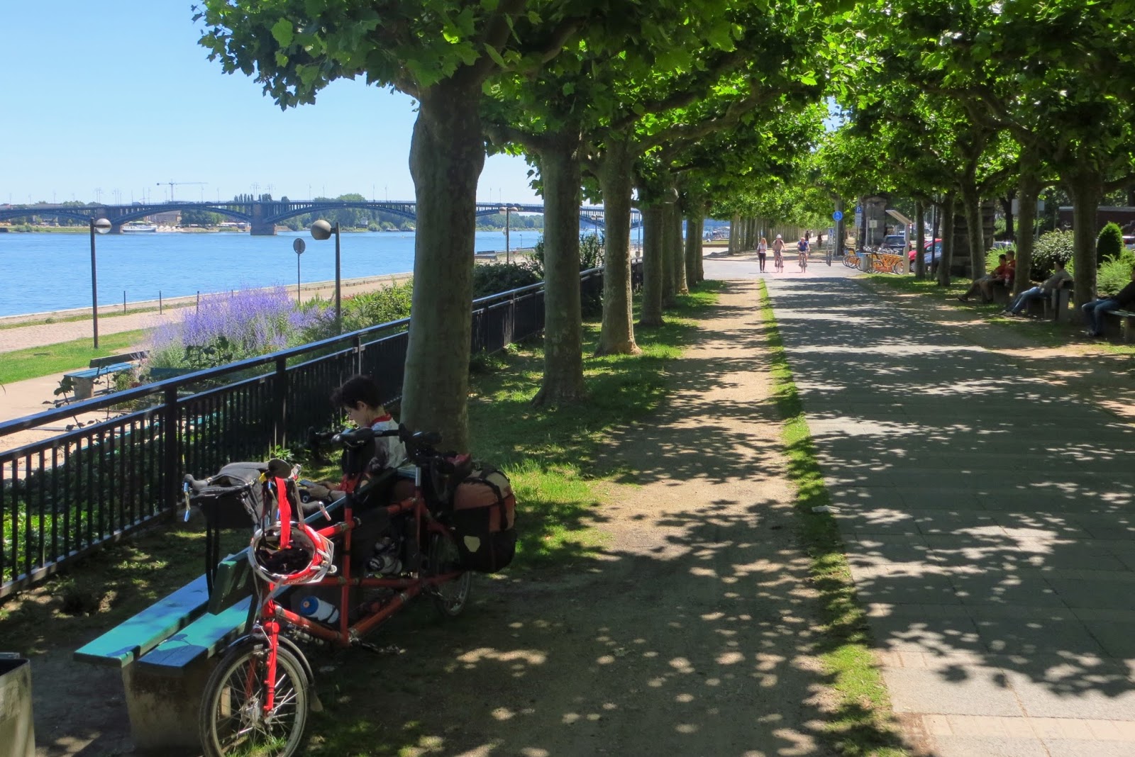
Back down on the ground we ferried back to the left (west) bank and stayed there for the rest of the way to Koblenz, 75 scenic km away. Occasionally we had peek-a-boo views of the river and vineyards, then close-up views of castles like Burg Reichenstein that had once seemed small and faraway, then so many castles that we kind of lost track of them. OK, the skinny one near the trail was actually a town watchtower, not a castle, but there were real castles aplenty elsewhere.


Some of the finer ones inspired Little Red to pose for its portrait. High up rests Burg Gutenfels, "Castle Solid Rock." On an island below it in the Rhine sits Pfalzgrafeinstein, built in 1327 as a toll station / extortion point. With places like this and the Mouse Tower, it's a wonder anything got shipped down the Rhine in the Middle Ages. And down was the only way things went until powerful boat engines were developed. The Rhine is not dammed in this area and runs powerfully through this gorge. We paced a large barge going downstream at about 22kph (13 knots), while upstream boats seemed like they were at a walking pace, 3 knots, though perhaps it was a bit more. Little Red wasn't willing to turn around and pace one.

We selected our next lodging at a pension that's up a valley, 700m from the highway and rail line that noisily follow the river. It worked -- it was quiet and restful. We also thought we'd get a break from castles, but noooooo, there was one more looming down at us, Burgruine Rheinfels. It stood firm and proud from 1245 until Napoleon trashed the place in 1797. Our pension's informal atmosphere also gave us a chance to make the acquaintance of a couple from Göttingen, both in the evening and again over breakfast on the deck out front. Like us, their biking interest has migrated increasingly toward rides along rivers. When we found out that they had only done a small portion of the Main, we knew that our guidebook (in German) to the Main Bike Route had found a new good home. Coincidentally, it lowered the weight of our luggage about half a pound.


Besides showing you yet another castle, our next photo also shows how much the Germans have packed into this narrow valley. From left to right we have a train line with freight, local passenger trains and fast trains; then a highway; next, our bikeway, with one lane for walkers; then the very busy Rhine, filled with passenger ships headed to Vienna and Budapest, tour boats from the area, and all sorts of commercial traffic. On the other shore are yet another bikeway, highway and rail line! Our appreciation of all this was interrupted by a clicking sound from our rear wheel. Jeff checked it out and found that one of our 36 rear spokes had broken. We brought three spares for each wheel (different spoke lengths), and in half an hour we were good to go.


The Rhine used to have some dangerous rocks called the Lorelei, now blown to bits in the interest of safe boat passage. Nevertheless it still has some tight turns that must be a challenge for the long, needle-like freighters that ply the Rhine, which are allowed to be as long as a 60+ story building.


We'll start our next blog entry with a few more shots of Koblenz, then head up the Moselle, which we will follow for 270 km to Luxembourg.

No comments:
Post a Comment