

Thanks to zoning and a culture which believes in keeping communities compact, we often passed through both heavily forested and agricultural areas between towns, sometimes with castle ruins adorning the view. In fact in one area it seemed there were castles to the left of us, castles to the right of us, castles up above us.


About the only urban sprawl we ever noticed were gardens that sometimes crept out from town, where city and town dwellers could keep their thumbs green in the rich alluvial soil. Oh, yes, it was still quite cool for late June, in the 50s every morning and the low 60s on a good day later on.

Sometimes as we entered a town the bike trail gently transformed into the quay, a street running along the river. Other times there were city gates to be passed through, such as the entrance to Karlstadt am Main behind the tour group below. This charming town was a lunch stop. Look down from the market square and you can see a watch tower that once protected the city from a river attack. Turn to the right and you can see the various cafes spilling out onto the street. Like so many towns and cities we passed through, there were several blocks reserved for pedestrians only. Two blocks from the market square was a presumably reconstructed half timbered house, for a plaque declared that it was the site of the town's synagogue until the shameful night of Nov. 9, 1938, when synagogues and Jewish-owned businesses all over Germany were damaged or destroyed in state-sanctioned hatred.


How much easier to let our minds drift back to the Middle Ages, as in this fanciful version of the sword in the stone legend, or to, perhaps . . . eyeballs. We paid/wasted €9 to visit a glass museum in Wertheim, and this display of 19th century glass eyes was the only thing worth a second look (sorry -- couldn't resist that pun). Well, win some, lose some.


For our sixth lodging choice in Germany, we tried our first non-hotel, Pension Ericka. Jeff had to push the loaded tandem a half kilometer up a steep, steep hill with the taunting name (in German) of "Little Climb." However the view that evening was magical, and our pension, like a few other places we've stayed at, had a fridge where you could help yourself to beer, wine, soda or mineral water at very modest prices and on an honor system. Supper came out of a market that was a cross between a 7-11 and a supermarket, and Louise put together two quite respectable chefs salads on the plastic plates we brought with us.


Back at the river the next morning, a sign told us all we wanted to know and quite a bit more about the fish that swim in the waters we've been biking along. Those waters sometimes go up quite a bit, as a photo in our last blog entry vividly illustrated, and the likeliest enemy the town of Freudenberg now faces is the river. You can see that no one bothers with paint on the lower levels of these buildings by the river. Above the town, however, you can see parts of the old town wall that protected them from other dangers.


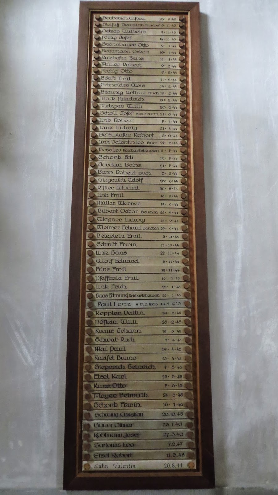
A guidebook we consulted strongly urged us to investigate Miltenberg on the Main and a small town a few km inland, Amorbach. We put Google Maps in biking mode and it found us bike trails the whole way. The town church had an interesting altarpiece and the memorial plaque we showed you earlier. The old part of the town was cute by almost any standard, but after so many other cute towns . . . We kept the camera holstered.


Not so in Miltenberg. We spent two nights here, in fact, to thoroughly enjoy the place. A modern road funnels the traffic through town along the river, and one block in the pedestrians have sway over the ancient Hauptstrasse. Not one but two town squares provide places to rest and people-watch, and along the way between them you pass the Gasthof zum Riesen, which claims to be the oldest guest house / hotel in Germany.


On our "rest" day we hiked up to Mildenburg, the castle that looms over Miltenberg. (In German, Burg is a castle and Berg is a mountain or large hill). Oh, the views! In the second, note how the town stretches out along the river to a town gate in the distance.


The city bought the castle in 1979 from its private owner and converted it into an art gallery. After viewing the art, mostly weird modern stuff, we think most of the visitors are coming for the chance to explore the castle. There was one highly provocative work called simply "Psalm 23" (the Lord is my shepherd . . .). But mostly we looked out the windows, looked down into the Burghof (castle courtyard), and climbed to the top of the keep, maybe ten stories above the already aerie base of the castle. Whew, what an adventure!


The Main (BTW, pronounced in German to rhyme with "Rhine") is part of the RMD waterway, the Rhine-Main-Danube. Using those three rivers, a few tributaries and a canal completed in 1992, it is possible to travel by boat across Europe from the North Sea to the Black Sea, with one segment at the summit at 406m (1,332') above sea level. Consequently, there is a lot of river traffic, including many passenger vessels shuttling folks from Rotterdam to Cologne, Nuremberg, Vienna, Budapest and many other points in between. We noticed at least three Viking River Cruise boats and probably missed a few more. One we did pay attention to was waiting for a commercial boat to lock through Klingenberg Locks. Wow, what a tight fit!


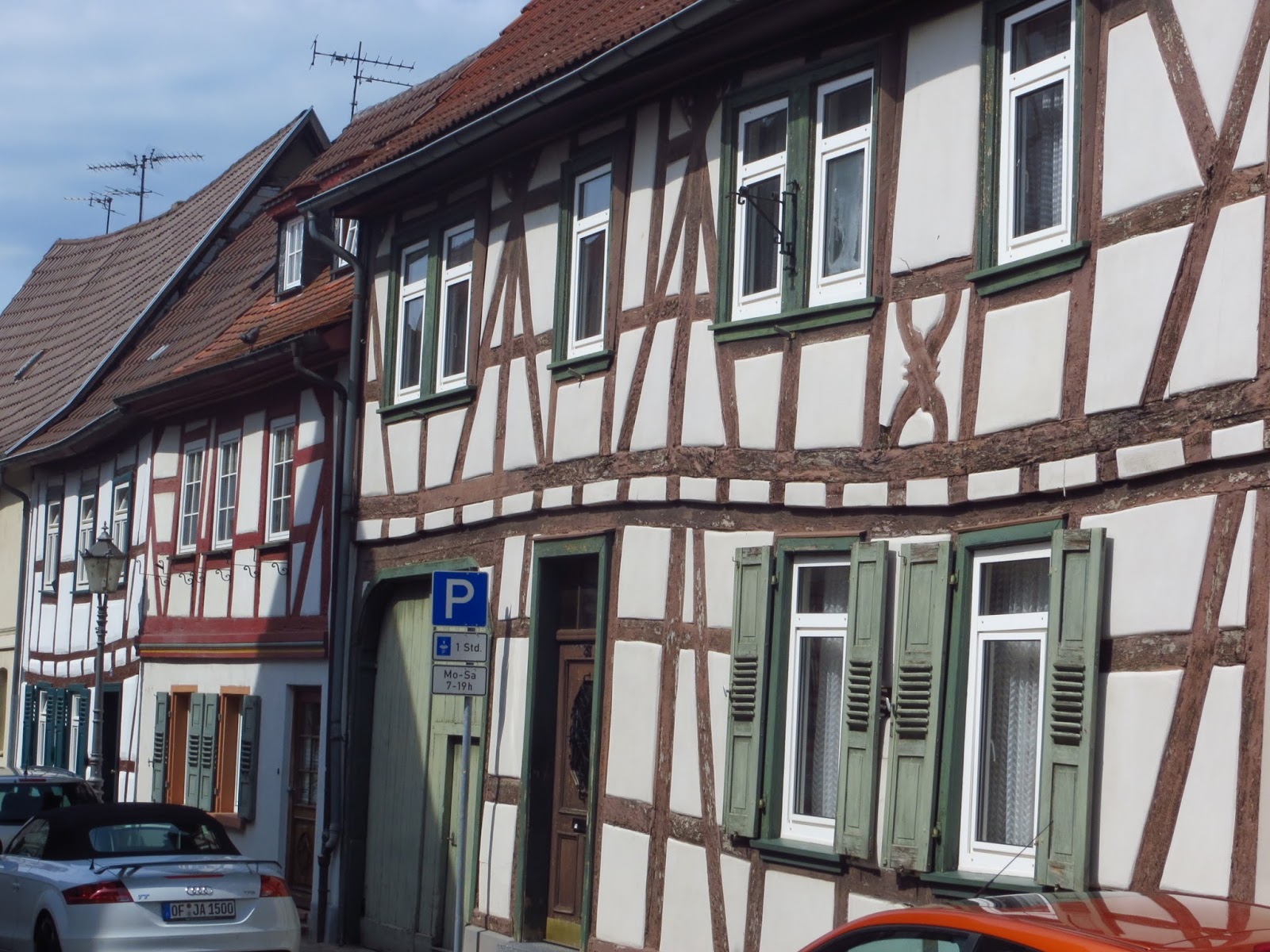
Our last truly scenic town was Seligenstadt, a curious name. It could mean the citizens are blessed, i.e. fortunate, or that they are blessed, i.e. deceased. It is blessed with a charming Altstadt, a common term in Germany for the old part of town. The Fachwerk, or "half-timbering," was particularly fine.

There are some who think O-C Disorder is a German national trait. They might have the Main and Rhine Rivers in mind. Every km is numbered clearly on both rivers, plus stones every 200m on the Main and 100m on the Rhine. Without fail. We stopped to photograph the 45 km sign (across the river on the far right), meaning we were closing in on Frankfurt. We were not really in the mood for a large city, for the traffic, or for Frankfurt hotel prices (50%-100% higher than anywhere else we've been on the Main) so we put in a 72km push to a town that was more exurb than suburb. As a tribute to our skipped city, Jeff ordered Wuerstel in der frankfurter Art at a pub along the way.


And so we end at the Main Eck, the "Main Corner" where the Main on the left joins the mighty Rhine.

It's been a wonderful trip, these past 456 km. About 20 km was on packed limestone, as in the photo above, not a bad surface to bike on. Maybe 1-2 km in total were on cobblestone or rough bricks, none of it a problem for our 20" x 1.6" tires, and a very few km on old rough asphalt. In short, 95% of our miles were on smooth asphalt, some of it so perfect we wondered if it was done or redone recently. Route finding was aided by our bike guide, but even without it there were little direction signs throughout, specifically for cyclists. Add in the beauty, history and friendliness we met everywhere, and it equals a wonderful experience.
Check back in a week, when we hope to have our route 125 km down the Rhine chronicled and illustrated!

No comments:
Post a Comment